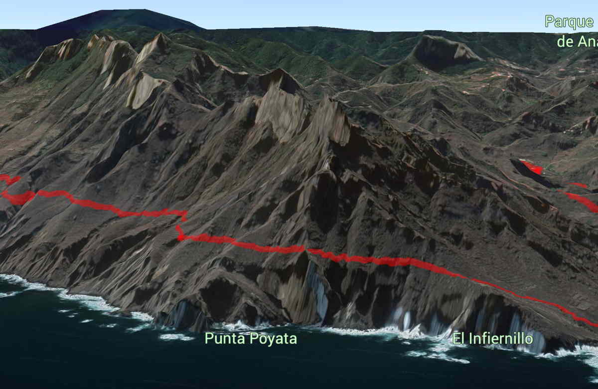
When I’m planning hikes and other adventures, I always like to check it out first and seriously consider if it’s right for us! And so, I map it out first, and read a guidebook or Internet description, and then see what it looks like in Google Earth if I have any doubts. Both Chris and I have some foot issues and resulting balance issues, so something that is too long or needs too much agility is not for us right now. Not sure if we are going to do the hike pictured below, but it’s fun to just check it out and do some iPad travel. 🙂 We might do this in the next week if we feel up to it and the weather is good.
Here in Tenerife, I’ve also been using a walking guide that has most of hikes that we have done.

Once I find something interesting, I try to find the hike in GaiaGPS (https://www.gaiagps.com/) and re-create the track so I’ll have it all on my phone when we hike. I also download the maps to use in an offline mode so I can hike in airplane mode – saves the battery.

Leave a Reply